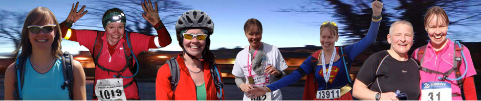

When I run the Glasgow Marathon on 30/03/13, I won’t get a medal, but I can still run the route and make it my own challenge and perhaps get others talking about and taking action to get the Glasgow Marathon back too.
Like the Glasgow Marathon Facebook page here.
Like my Lorn Pearson Trains Facebook page here.
GLASGOW MARATHON ROUTE
Here’s the route I’m going to follow: Glasgow Marathon 2013

From Paisley Road, Govan Road,
Lorne Street, Paisley Road West, Bellahouston Park,
Corkerhill Road, Barrhead Road, Pollok Park,
Fleurs Avenue, Maxwell Drive, St Andrews Drive,
Maxwell Road, Eglington Toll, King George V Bridge,
Clyde Street, Glasgow Green, Salt Market,
George Street, St Vincent St, W Nile St,
Sauchihall St, Kelvin Way, University Avenue,
Byres Road, Queen Margaret Drive, Maryhill Road,
Skaethorn Rd, Temple Rd, Bearsden Rd,
Great Western Rd, Anniesland Rd, Queen Victoria Drive,
(I think I need to check this bit out and make it the best it can be)
Dumbarton Rd, Victoria Park Drive, Science Centre,
Stobcross Rd, Clydeside, Lancefield Quay,
King George V Bridge, Clyde Place, West St,
Paisley Rd!
It might not follow the route exactly, but it is 26.2 miles and it will do for me! I’ll run most of the route in training runs, just to get used to it, and to make sure I get the route right too.
SHORTER TRAINING ROUTES
And here are some other training run routes which will be on the Glasgow Marathon Route:
9M Glasgow Marathon
[24/01/13: Garmin link here]
10.25M Glasgow Marathon (Paisley Road / Southside)
[ 12/01/13: Training run post here ] [ Garmin Link here ]
12M Glasgow Marathon (North side up to Maryhill)
16M Glasgow Mararthon (Paisley Road / up North side of Glasgow)

Pingback: In the news… | Lorn Pearson Trains…
Pingback: 16M Glasgow Marathon Route | Lorn Pearson Trains…